
Luxury Scented Candle Set
Three winter scents — pine, vanilla & cinnamon. The gift that never misses.
Follow Santa from the North Pole on Christmas Eve, stop by stop. Every route time is converted into your own timezone automatically.
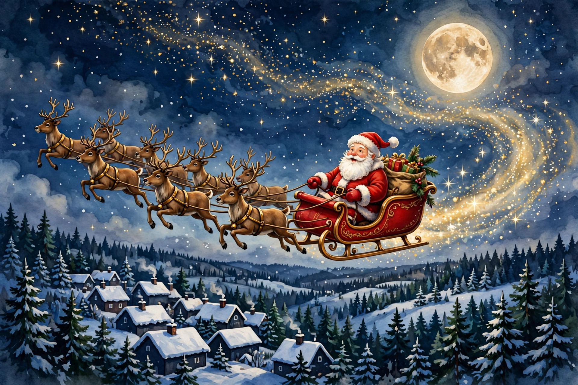
In the stories, Santa's flight begins on Christmas Eve — 52 days away. This simulated flight is pretend; the real countdown to Christmas Day is on the Countdown page. Times are shown in your local time (UTC).
Every arrival time is shown in your timezone (UTC) — converted automatically from Santa's North Pole schedule.
The counters spring to life when Santa flies — press Simulate the flight above to run the full journey now (pause, restart and 1× / 2× / 4× speeds included), or watch them climb live on December 24. The sleigh travels the gold route across the stylised map as the journey progresses, and the big counter in the status card counts every pretend gift.
Santa's route chases the night around the planet. He lifts off from the North Pole at 9:00 AM Eastern on December 24 and works westwards through eight big stops — Sydney, Mumbai, Cairo, Paris, London, New York, Los Angeles and Honolulu — reaching each city just after its local midnight, while its children are asleep, before flying home by 6:00 AM Eastern on Christmas morning.
The map is a stylised world map drawn right into this page: dark oceans, green continents and a gold route line through numbered pins, one per stop. It needs no external map service and works offline. The status card at the top narrates the flight ("Delivering gifts in Paris — stop 4 of 8, then on to London") while the big counter tallies pretend gifts delivered, alongside distance travelled, sleigh speed, cookies eaten and glasses of milk.
Our tracker plans the route in Eastern Time, but every stop time is rendered in your timezone: a New York reader sees ET, a Chicago reader CT, a California reader PT. On Christmas Eve the tracker follows the planned route in real time; the rest of the year, press Simulate the flight and replay the whole journey with pause, restart and 1×, 2× and 4× speed controls. Tap any numbered pin on the map, or any stop in the list, to see that stop up close.
One honest note: this is a festive entertainment experience built on the traditional route, not a radar feed. Santa's exact methods remain a North Pole trade secret.
The tracker borrows its logic from real flight boards, translated into Santa terms. The status card is the headline: where Santa is and what happens next. The progress bar shows the share of the route completed, first stop Sydney to last stop Honolulu. The gifts counter is deliberately labelled "pretend" — it is scaled for fun, climbing through the billions because that is the size of the job in the stories. Distance, speed, cookies and milk are the supporting stats children actually argue about, which is why they sit in their own cards under the map on this page.
The stop list is where the timezone work happens. Route planning is done in Eastern Time because that is the convention of the famous trackers, but no visitor should have to convert eight times in their head. Each stop renders in your local time with your timezone named, so a child in Chicago and a cousin in California can compare screens and both be reading their own Christmas Eve correctly.
Why does Santa start in the east? Because midnight reaches the Pacific and Asia first. Santa's route follows the night itself, which is why Sydney hears sleigh bells while New York is still eating lunch. How fast is the sleigh? In the stories, fast enough to visit hundreds of millions of homes in one night — the speed card shows the pretend figure the simulation uses, and it is not a number real aircraft would survive. What if my child spots that it is a simulation? The page is honest about being an entertainment experience built on the traditional route. The magic is in the ritual — watching together, counting down together — not in pretending a web page is a radar station.
Eight famous stops stand in for hundreds of millions of real rooftops, and that is deliberate: a child in Mumbai, Paris or New York can find their city on the map, while a child anywhere else finds the stop nearest to them and knows Santa's rough position in their night. The gold line across the stylised map is the real shape of the journey, though — always westward, always chasing midnight, from the first rooftops of the Pacific side of the world to Honolulu near the end of the line. When the simulation runs, watch the sleigh cross the oceans: those long, quiet legs are where the distance counter earns its billions.
The card shows Santa's current stage: loading, delivering in a city, or home — with the live pretend-gifts counter.
Every stop is converted to your timezone — no maths needed.
Replay the full Christmas Eve journey any day of the year, at 1×, 2× or 4× speed.